








Water shortages are often described in terms of how much rain fails to fall. But the severity of a drought also depends on what happened before it began. Water stored underground, in soils, rivers, lakes and other terrestrial reservoirs can carry the influence of wetter periods forward, allowing a river basin to absorb a temporary rainfall deficit before conditions become severe.
New research suggests that this buffering function is changing alongside a substantial decline in the amount of water stored on land. A peer-reviewed study published in Scientific Reports on 3 October 2026 used more than two decades of satellite gravimetry to examine not only how terrestrial water storage has changed, but how long major river basins retain the influence of their previous water-storage conditions.
Across the quasi-global land area analysed, terrestrial water storage declined at 172.62 ± 0.77 cubic kilometres per year. The researchers also found that 55% of river basins experiencing storage depletion showed declining drought-buffering capacity. The results suggest that losing water can alter more than the size of a basin’s reserves. It can also change the timescale over which those reserves help a landscape resist and recover from drought.
Measuring the memory stored in water
The study was led by Vagner Ferreira of Hohai University and Christopher Ndehedehe of Griffith University, with Jingkai Xie and Mohammed Abdallah. The team analysed observations from the Gravity Recovery and Climate Experiment, or GRACE, and its successor GRACE Follow-On mission from 2002 to 2025.
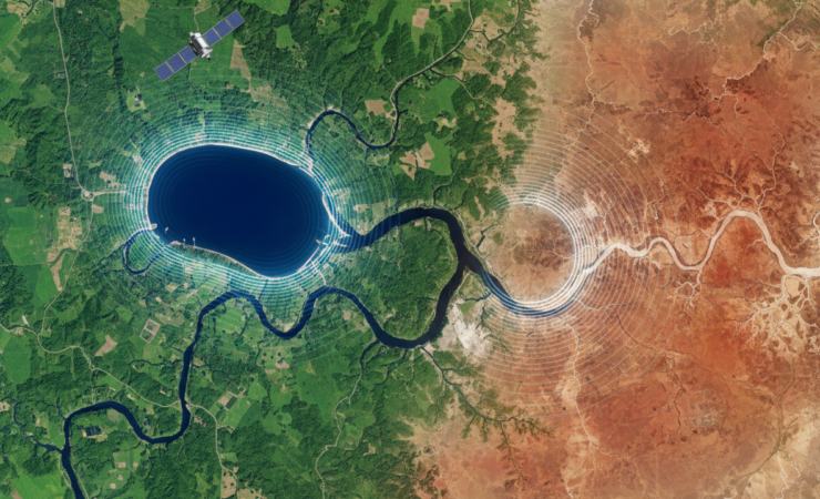
GRACE satellites do not measure groundwater, soil moisture and surface water separately in the way a network of wells or gauges might. Instead, they detect small changes in Earth’s gravity caused by the movement of mass. After other mass changes are accounted for, these observations provide estimates of changes in total terrestrial water storage across large areas. That makes the missions particularly valuable for studying broad hydrological changes across regions where ground monitoring is sparse or inconsistent.
The researchers focused on a concept they call effective hydrological memory. In practical terms, this describes how strongly a basin’s current water-storage state remains connected to its previous state. A basin with longer effective memory carries the influence of earlier wet or dry conditions forward for longer, while a basin with shorter memory responds and forgets more quickly.
To quantify this, the team isolated low-frequency terrestrial water-storage variability at periods longer than 12 months and calculated the e-folding decay time of its autocorrelation function. This provides a timescale for the persistence of storage anomalies while integrating both climatic forcing and the physical characteristics of a basin.
A large decline in terrestrial water storage
The satellite record showed a pronounced negative trend at the quasi-global scale. Terrestrial water storage decreased by 172.62 ± 0.77 cubic kilometres each year over the study period. Importantly, this was not a uniform drying of every region. Concentrated areas of substantial storage loss outweighed gains elsewhere, producing the overall negative trend.
The analysis then examined 50 major river basins. Average effective hydrological memory varied substantially among them, ranging from approximately four to 16 months. This means that the persistence of water-storage conditions differed by roughly a factor of four across the basins studied.
Those differences matter because the same meteorological drought can produce different hydrological consequences depending on how much water a basin holds and how quickly its storage state changes. A system that retains substantial storage and releases its memory slowly may temporarily buffer a rainfall deficit. A depleted system with rapidly changing storage can move into severe hydrological drought more quickly.
More than half of depleted basins lost buffering capacity
Among basins experiencing declining terrestrial water storage, 55% also showed a decline in drought-buffering capacity. This links the quantity of stored water to a second dimension of hydrological resilience: the ability of accumulated storage to moderate climate anomalies through time.
However, the relationship was not as simple as saying that longer memory is always better. Some arid basins showed effective hydrological memory increasing by as much as 1.0 month per year. At first glance, greater persistence could look like improved resilience. The researchers caution that in severely water-limited systems it may instead represent what they describe as fossilised persistence.
In this situation, a basin remains trapped in a depleted state for longer because it is recovering poorly. The system remembers drought not because it has a large reserve capable of buffering new shocks, but because the existing deficit persists.
The opposite pattern was observed in some semi-arid systems, where effective hydrological memory shortened at rates as large as 1.0 month per year. Rapidly shortening memory can mean that storage conditions respond more quickly to new climate anomalies. Under dry conditions, this can translate into faster drought onset and reduced capacity to absorb rainfall deficits.
Two very different forms of vulnerability
The findings therefore point to at least two potentially vulnerable hydrological regimes. One is increasingly responsive, or “flashy”, where storage anomalies disappear quickly and drought can develop rapidly. The other is increasingly stagnant, where depleted conditions persist because recovery is slow.
This distinction is important for water management. A single measure of total water loss cannot reveal whether a basin is becoming more sensitive to short-term climate variability or becoming locked into a long-lived deficit. Storage and memory provide related but different information.
The study also challenges an intuitive interpretation of persistence. In many systems, the ability to retain water through time is beneficial. But when storage has already been heavily depleted, unusually long persistence can be a warning sign if it reflects an inability to recover. Hydrological memory therefore needs to be interpreted alongside the direction of storage change and the climatic setting of each basin.
Why satellite gravimetry matters
The GRACE and GRACE Follow-On missions are particularly suited to this type of analysis because terrestrial water storage combines water held in multiple compartments. Groundwater, soil moisture, surface water, snow and other stores can all contribute to the total mass signal detected from orbit.
That integrated perspective can reveal broad changes that are difficult to reconstruct from individual monitoring networks. It is especially useful when assessing large river basins that cross political boundaries or contain areas with limited hydrological instrumentation.
For drought planning, a storage-memory metric could eventually complement more familiar measures based on rainfall, soil moisture or streamflow. Two basins receiving similar rainfall deficits may face different risks if one retains substantial hydrological memory while the other has become increasingly responsive or persistently depleted.
What the study cannot yet establish
The findings should not be interpreted as a complete diagnostic system for river-basin resilience. GRACE observes water-storage change at relatively broad spatial scales, which limits the ability to resolve local aquifers, reservoirs or management interventions. Total terrestrial water storage also combines several water compartments, so similar satellite signals can arise from different underlying processes.
The effective-memory measure is a statistical description of persistence rather than a direct measurement of a single physical reservoir. Changes in climate, groundwater abstraction, reservoir operations, land use and other human activities can interact to shape the observed storage record.
The authors accordingly describe storage-memory metrics as a potentially useful way to assess basin resilience, while emphasising that further proof-of-concept work is required. Future research will need to test how well these measures anticipate observed drought impacts and whether they improve forecasting when combined with conventional hydrological indicators and local water-management data.
A changing capacity to withstand drought
The central finding is not simply that terrestrial water storage is declining. The study suggests that the dynamics of stored water are changing as well. Across major river basins, some systems appear to be losing their ability to buffer climate shocks quickly, while others may be retaining the imprint of depletion because recovery has become difficult.
That makes hydrological resilience a question of both quantity and time. Knowing how much water remains is essential, but understanding how long the landscape carries that water, or carries the absence of it, may provide an additional warning of how future droughts will unfold.
Source Information
Study: Ferreira, V., Ndehedehe, C., Xie, J. et al. “Declining terrestrial water storage is associated with changes in effective hydrological memory and drought buffering.”
Journal: Scientific Reports
Published: 3 October 2026
DOI: 10.1038/s41598-026-73365-2