







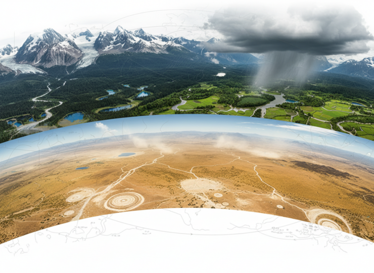
Whether a warmer world becomes wetter or drier is not a question with one global answer. A new study spanning roughly 21,000 years of climate history finds that changes in terrestrial moisture have followed a pronounced geographical pattern, with high northern latitudes, mid-latitude westerly regions and low-latitude monsoon systems responding differently as the planet moved from the Last Glacial Maximum into the modern climate.
The research, published in Communications Earth & Environment on 3 October 2026, combines global climate simulations with 191 records of past hydroclimate. The authors report progressive wetting at high northern latitudes from the Last Glacial Maximum to the pre-industrial period. Many regions dominated by mid-latitude westerly winds, however, were wetter during colder periods, while low-latitude monsoon regions were generally wetter during warmer periods.
This matters because familiar summaries of climate change can conceal major regional differences. Warming can increase the atmosphere’s capacity to hold water, but terrestrial moisture depends on much more than atmospheric moisture alone. Precipitation, evaporation, seasonality, circulation, ice sheets and incoming solar radiation can all alter the balance. The new study uses the deep past as a large natural test of how these processes interact across different climate states.
Reconstructing a 21,000-year moisture history
The researchers compared transient global climate simulations with 191 palaeoclimate records covering the interval from the Last Glacial Maximum, around 21,000 years ago, to the pre-industrial period. This interval is especially informative because Earth experienced major changes in ice-sheet extent, greenhouse gas concentrations and orbital forcing as the planet emerged from the last ice age.
Rather than treating the globe as a single hydroclimatic system, the analysis examined how moisture changes varied with latitude and dominant atmospheric circulation. That approach revealed a structured pattern. High northern latitudes became progressively wetter through deglaciation. In contrast, numerous regions influenced by the mid-latitude westerlies tended to be wetter under colder conditions. Low-latitude monsoon regions generally moved in the opposite direction, tending towards wetter conditions under warmer climates.
The agreement between modelling and the geographically distributed palaeoclimate evidence is important. Climate models provide a physically consistent view of variables across the globe, but their results depend on model structure and boundary conditions. Geological and palaeoenvironmental records provide independent evidence from the real climate system, but are unevenly distributed and can reflect local processes. Using both allows the researchers to test whether broad simulated patterns are also visible in empirical records.
Why latitude changes the response
The study attributes the contrasting moisture histories to a combination of seasonal precipitation and evaporation changes and shifts in atmospheric circulation. As the great ice sheets retreated, greenhouse gas concentrations changed and incoming solar radiation varied, the position and strength of major circulation systems also changed.
At high northern latitudes, deglaciation and warming were associated with progressive wetting. Monsoon-dominated low latitudes also tended to become wetter under warmer conditions, consistent with changes in seasonal heating and moisture transport that can strengthen monsoon rainfall in many regions. Mid-latitude westerly zones show a different history because storm tracks and circulation belts can shift geographically as the climate changes. A location can therefore dry even when the global hydrological cycle becomes more energetic.
The distinction between precipitation and effective moisture is also crucial. A region’s water balance reflects both incoming precipitation and losses through evaporation. Higher temperatures can increase evaporative demand, meaning that increased rainfall does not automatically translate into wetter soils, lakes or landscapes. The authors’ interpretation therefore focuses on the combined hydroclimatic balance rather than rainfall alone.
The ancient pattern has a modern counterpart
The latitude-dependent structure was not confined to the distant past. The researchers report a similar pattern in modern observations, strengthening the argument that the mechanisms identified across deglaciation remain relevant to present-day climate change.
Future climate simulations extend the pattern forward. They project drying across many subtropical and mid-latitude regions, while high latitudes and monsoon regions tend towards wetting. In other words, continued warming is not expected simply to shift the whole planet in one direction. It is projected to widen the contrast between regions experiencing greater water availability and those facing increasing dryness.
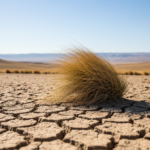
That divergence is particularly consequential for drylands. Many subtropical and mid-latitude societies already operate close to water constraints, and additional drying can affect agriculture, ecosystems, reservoirs and groundwater demand. Meanwhile, wetter high-latitude and monsoon regions can face a different set of risks, including heavier rainfall, flooding and changes in seasonal water availability. More moisture is not automatically less hazardous.
What the findings add to climate projections
The study provides a long-term context for a central challenge in climate adaptation: global mean warming is a poor guide to local water outcomes. Two regions exposed to the same increase in global temperature can experience different, or even opposite, moisture changes because they occupy different circulation regimes and have different seasonal balances between precipitation and evaporation.
Looking back to the Last Glacial Maximum also gives researchers a much wider range of climate conditions than the instrumental record alone. Modern observations span only a small fraction of the timescale over which ice sheets, greenhouse gases and orbital forcing have reshaped atmospheric circulation. The palaeoclimate comparison therefore provides an additional test of whether climate models reproduce large-scale hydroclimatic responses outside the narrow range of recent decades.
For water planning, the findings reinforce the need for regional rather than purely global assessments. Infrastructure designed around historical rainfall and evaporation may face increasingly different pressures depending on latitude and circulation regime. Drying regions may require stronger drought resilience and water-demand management, while wetting regions may need to accommodate greater runoff and rainfall variability.
Important limitations
The results should not be interpreted as a precise forecast for every location. The 191 palaeoclimate records provide broad empirical coverage but cannot represent every region equally, and individual proxies can respond to local hydrology as well as large-scale climate. Model simulations also simplify the climate system and differ in how they represent circulation, land processes and evaporation.
Broad latitudinal groupings can additionally hide substantial variation within the same band. Mountains, coastlines, ocean circulation, vegetation and regional atmospheric dynamics can modify local outcomes. A projected tendency towards drying or wetting therefore describes a large-scale pattern rather than a guarantee for every catchment or city.
The past is also not a perfect analogue for the future. Deglaciation involved enormous changes in Northern Hemisphere ice sheets and orbital forcing alongside rising greenhouse gases, whereas current and future warming is dominated by rapidly increasing greenhouse gas concentrations. The value of the comparison lies in identifying recurring physical patterns and testing climate mechanisms, not in assuming that future changes will exactly reproduce the path out of the last ice age.
Even with those cautions, the study offers a coherent long-term picture. Terrestrial moisture has not responded uniformly to major climate change, and the contrast between wetter and drier regions appears deeply connected to latitude, atmospheric circulation and seasonality. As warming continues, that geographical divergence may become increasingly important for understanding where water stress grows and where a wetter climate creates different environmental risks.
Source Information
Study: Zhang, Z., Li, Y., Zhang, Y. et al. Strong latitudinal contrasts in global wet/dry patterns since the Last Glacial Maximum and under future warming.
Journal: Communications Earth & Environment.
Published: 3 October 2026.
DOI: 10.1038/s43247-026-04078-7.