






Emerging infectious diseases are often explained through a familiar list of global pressures: deforestation, climate change, biodiversity loss, expanding agriculture and closer contact between people and wildlife. Each has plausible mechanisms behind it. The harder question is whether any of them consistently predicts where outbreaks actually occur across many different diseases.
A major global analysis published in Nature suggests the answer is more complicated than a single universal driver. Researchers assembled 58,319 geolocated outbreak-event records spanning 32 emerging infectious diseases and tested them against 16 social and environmental factors. The resulting picture points to recurring risk in landscapes where people and livestock live alongside forests and fragmented ecosystems, but it also shows striking differences between diseases.
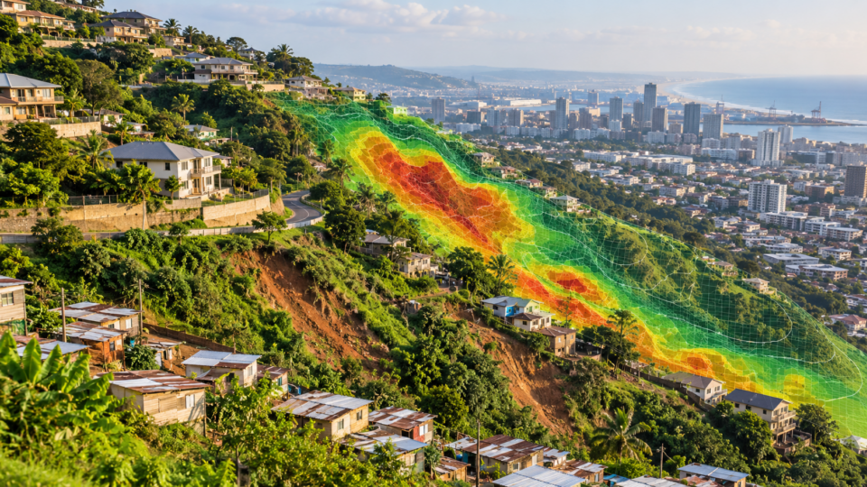
One finding is particularly important for interpreting global outbreak maps. The geography of recorded disease is shaped not only by where infections occur, but also by where health systems are able to detect them. Across the diseases studied, reporting declined by a median of 32% for every additional hour of travel time from a healthcare facility. The range across diseases was enormous, from 1.2% to 96.7%.
That means some apparent outbreak hotspots may partly be surveillance hotspots. It also means communities far from clinics can be underrepresented precisely where public-health intelligence is most needed.
A global dataset built to separate risk from visibility
The study brought together geolocated records of human cases or outbreaks for diseases with environmental links, including Ebola, mpox, dengue, chikungunya, Rift Valley fever, Lyme disease, avian influenza A/H5N1, Japanese encephalitis, plague, melioidosis, Middle East respiratory syndrome and several other zoonotic, vector-borne and environmentally transmitted infections.
The researchers then matched outbreak locations to gridded global data representing 16 candidate drivers. These covered healthcare access and urban land cover, livestock density and social vulnerability, forest and cropland cover, landscape fragmentation and biodiversity intactness, land-use pressures such as forest loss, cropland expansion and mining, and long-term changes in temperature and precipitation.
The climate variables compared conditions in 2000 to 2020 with a 1950 to 1970 reference period. Other datasets captured processes such as forest loss between 2000 and 2020 and cropland expansion between 2000 and 2019.
Because outbreak data do not provide a clean set of places where disease definitely did not occur, the researchers generated background locations for comparison. Depending on the disease, they selected between two and eight background points for every outbreak point. This created a pseudo case-control framework comparing the social and environmental conditions around documented outbreaks with representative conditions elsewhere in the relevant study regions.
The team used geospatial logistic regression and explicitly modelled detection-related factors. For the combined analysis, 49,239 outbreak events remained after preprocessing and were compared with 50,000 background points. An ensemble of 100 Bayesian logistic-regression submodels used balanced disease samples so that diseases with very large datasets did not dominate the overall result.
Fragmented landscapes emerged as a recurring signal
Before the researchers adjusted for reporting and detection, outbreak events appeared strongly associated with human-impacted ecosystems and wealthier communities. Once spatial effects, urbanisation and healthcare access were incorporated, several of those relationships changed substantially.
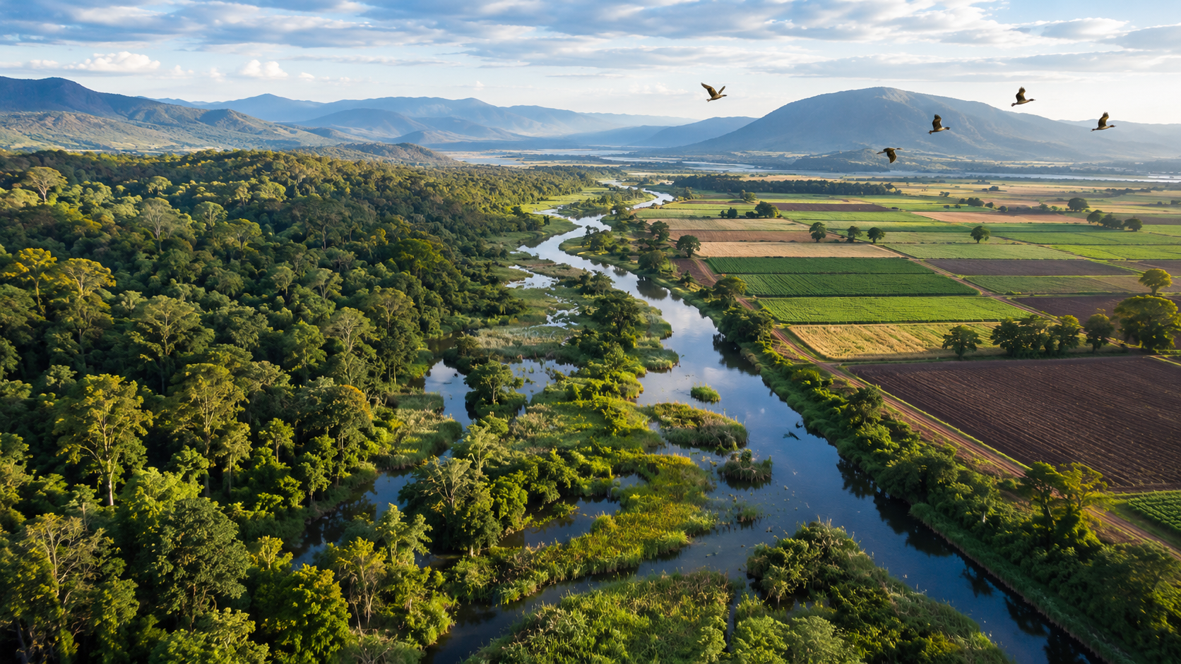
Even after those adjustments, outbreak risk across the combined dataset increased with forest cover, landscape fragmentation and livestock density. The same broad pattern remained when analyses were restricted to zoonotic diseases and to vector-borne diseases.
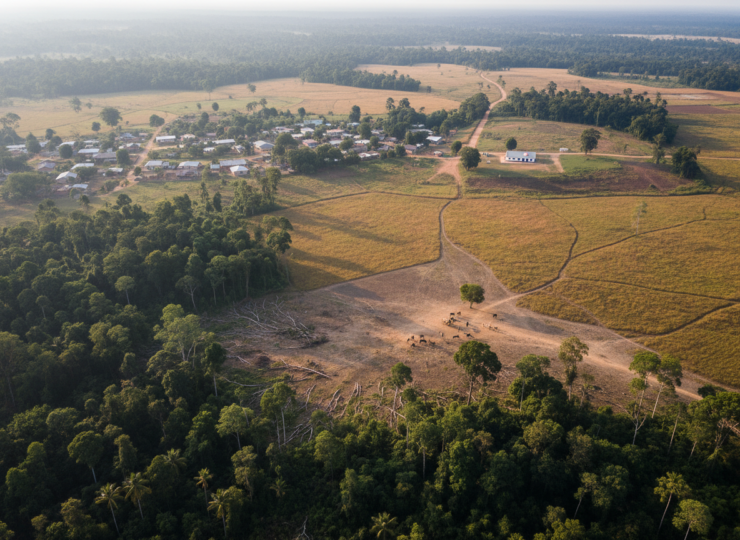
This supports an ecological idea that has become increasingly important in disease research: risk may be elevated at interfaces. A landscape does not need to be untouched wilderness or completely converted farmland to create opportunities for transmission. A mosaic of settlements, livestock, forest patches and fragmented habitat can bring hosts, vectors and people into repeated contact.
But the study also warns against turning that pattern into another universal rule. When the researchers constructed disease-specific models for 31 diseases, excluding Hendra virus disease because the data were too sparse, the effects varied sharply.
Fragmentation was associated with increased outbreak risk in 15 of the 30 diseases for which it was tested. Forest cover was positively associated with risk in 13 of 27. Long-term precipitation change was strongly linked to outbreak risk in 8 of 31 diseases, with drying trends associated with several vector- and water-borne infections.
Those proportions are substantial, but they are far from universal. They show that environmental change matters while also showing why a single global prescription can fail.
Deforestation and warming did not behave as universal predictors
Some of the most widely discussed environmental pressures were surprisingly inconsistent when examined disease by disease.
Recent forest loss was associated with outbreak risk in only 6 of the 29 disease systems in which it was tested. Even among those six, the direction was mixed: two showed increasing risk and four showed decreasing risk. Long-term temperature change produced detectable effects in only 5 of 28 diseases, with three relationships pointing towards higher risk and two towards lower risk.
Livestock density also illustrates the difference between an aggregate pattern and disease-specific ecology. It was a positive signal in the global combined model, yet disease-level relationships appeared in only 5 of 18 systems in which livestock density was tested. The effect was also geographically uneven, with livestock density showing its strongest regional impact in Asia.
These findings do not mean that deforestation, warming or livestock production are unimportant. Instead, they suggest that their effects depend on the biology of the pathogen, the species involved, transmission pathways, local land use and human behaviour.
The study recovered several disease-specific relationships that fit established epidemiology. Higher poultry density was associated with avian influenza A/H5N1 outbreaks. Forest loss increased risk for mpox and zoonotic malaria. Fragmented forest cover was associated with arboviruses that emerge around human-forest boundaries, including Mayaro fever, Oropouche fever and yellow fever. The models also found a consistent signal of long-term precipitation drying for dengue across the Americas, Africa and Asia.
Healthcare access changes the map we think we see
The strongest lesson may be methodological rather than ecological.
Outbreaks were recorded much more often in cities and close to healthcare facilities. These detection-related effects were larger than any individual social or environmental covariate in the combined model. After accounting for them, relationships between outbreak occurrence and many other factors became weaker and more uncertain.
This creates a fundamental challenge for global health research. A place with fewer documented outbreaks may genuinely have lower disease risk, or it may simply have fewer clinics, diagnostic laboratories, surveillance teams and reporting systems capable of identifying an outbreak.
The median 32% decline in reporting for every extra hour of travel to healthcare makes that problem measurable. It also has practical consequences. Investments in surveillance can initially make a region appear to become less healthy because more outbreaks are finally being detected. Better data can therefore increase recorded disease before they improve disease control.
Why climate drying deserves closer attention
Among climate signals, long-term drying stood out for several vector- and water-borne diseases. The researchers suggest that persistent reductions in precipitation may alter the underlying vulnerability of landscapes and communities to shorter-term weather shocks.
The mechanism is unlikely to be identical everywhere. Drought can encourage domestic water storage, potentially creating mosquito habitat relevant to dengue. In other systems, the dangerous moment may arrive when drought is followed by intense rainfall and flooding that produces breeding conditions for mosquitoes associated with diseases such as Rift Valley fever.
This distinction matters because climate change is often discussed as a simple warming effect. The study indicates that changes in water availability, landscape conditions and the sequence of climatic extremes may be at least as important for some diseases as changes in average temperature.
There is no universal recipe for preventing spillover
The results challenge the idea that pandemic prevention can be reduced to one environmental intervention applied everywhere. Protecting forests, reducing ecosystem degradation and addressing climate change remain important goals with benefits extending far beyond infectious disease. But the disease-prevention payoff of a particular intervention depends on the pathogen and place.
For some diseases, forest fragmentation may be a useful target. For others, livestock vaccination, mosquito control, safer agricultural practices or improved diagnostics may matter more. Directly transmitted zoonoses such as Ebola and mpox shared relatively few common drivers in this analysis, reinforcing the need for disease-specific evidence.
The researchers therefore argue for combining ecosystem-based prevention with stronger health systems and One Health surveillance, which integrates human, animal and environmental health. Better access to clinics and diagnostics is not merely a treatment issue. It determines whether emerging threats become visible early enough to contain them.
Important limits remain
The analysis is unusually broad, but its scale creates limitations. Outbreak records remain sparse for several high-concern pathogens, particularly rare bat-borne viruses. The authors note that detection and reporting biases persist across countries and income levels despite their statistical adjustments.
The available data were also not detailed enough to test every proposed driver. The researchers could not construct suitable globally comparable measures for factors such as invasive species density, wildlife trade and live markets, or hunting pressure outside tropical forests. Fine-scale temporal relationships were limited too, making it difficult to distinguish some urban detection effects from genuine urban transmission processes.
Because the study is observational and spatial, associations should not be read as proof that a particular landscape feature directly caused an outbreak. Environmental pressures can interact with host ecology, human behaviour, poverty, mobility, surveillance and chance. The authors also caution that data sparsity prevented detailed testing of nonlinear relationships, even though spillover risk may peak at intermediate levels of land conversion rather than increasing steadily.
Those limitations do not weaken the central message. They explain why it is so difficult to identify a universal environmental cause of emerging disease.
The next pandemic map needs to include the health system
Global outbreak maps are often treated as maps of biological risk. This study shows that they are also maps of human observation.
Forests, fragmented habitats, livestock, climate and land-use change can all shape where disease emerges. Yet the ability to see those events depends heavily on whether people can reach care and whether health systems can recognise what they find.
That has an important implication for pandemic preparedness. Preventing future outbreaks requires understanding the ecological conditions that create opportunities for transmission, but it also requires reducing the blind spots that allow those outbreaks to spread unnoticed.
The study’s 58,319 outbreak records therefore point towards a more demanding approach than searching for one global culprit. Emerging disease is produced by different combinations of ecology, climate, animals and people. Preparedness has to be equally capable of adapting to those differences.
Source Information
Study Title: The anthropogenic fingerprint on emerging infectious diseases
Authors: Rory Gibb, Sadie J. Ryan, David M. Pigott, Maria del Pilar Fernandez, Renata L. Muylaert, Gregory F. Albery, Daniel J. Becker, Jason K. Blackburn, Hernan Caceres-Escobar, Michael Celone, Evan A. Eskew, Hannah K. Frank, Barbara A. Han, Erin N. Hulland, Kate E. Jones, Rebecca Katz, Adam Kucharski, Direk Limmathurotsakul, Catherine A. Lippi, Joshua Longbottom, Juan Fernando Martinez, Jane P. Messina, Elaine O. Nsoesie, David W. Redding, Daniel Romero-Alvarez, Boris V. Schmid, Stephanie N. Seifert, Anabel Sinchi, Christopher H. Trisos, Michelle Wille, Colin J. Carlson and colleagues
Journal: Nature
Published: 23 September 2026
DOI: 10.1038/s41586-026-11058-6